


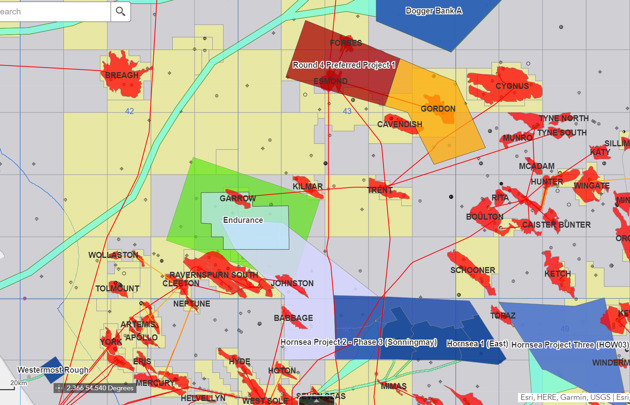
Organisations are using our interactive spatial and subsurface mapping tools to accommodate and integrate a range of technologies offshore – such as carbon storage, hydrogen, wind and oil and gas – and unlock the value of data.
Organisations are using our interactive spatial and subsurface mapping tools to accommodate and integrate a range of technologies offshore – such as carbon storage, hydrogen, wind and oil and gas – and unlock the value of data.