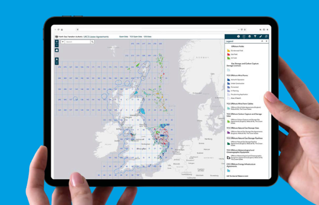
NSTA’s GIS data and interactive maps have moved!
NSTA’s GIS datasets, interactive maps and dashboards have migrated over to a new platform. These changes provide you with a better service, including more formats for data download and more streamlined Open Data search. See how to update links to data and apps.
From 17 November, all access to the old GIS platform has been removed.
The NSTA is working to transform the collection, storage, analysis and publication of UKCS data across the oil and gas and carbon storage lifecycle and including energy transition activities.

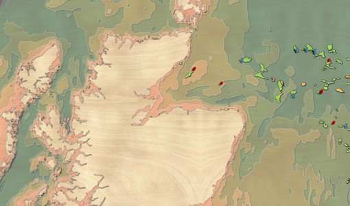
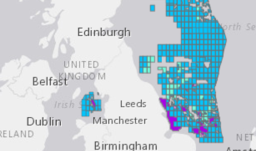


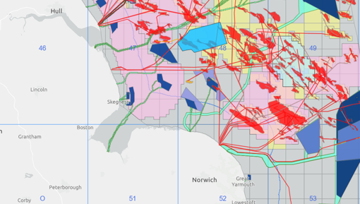
NSTA virtual map gallery tour
Take a look at some of our most popular and newest maps; and get some hint and tips on how to use them.