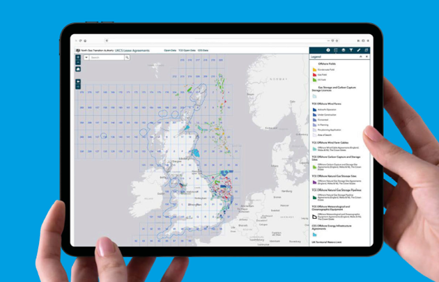
The NSTA is working to transform the collection, storage, analysis and publication of UKCS data across the oil and gas and carbon storage lifecycle and including energy transition activities.

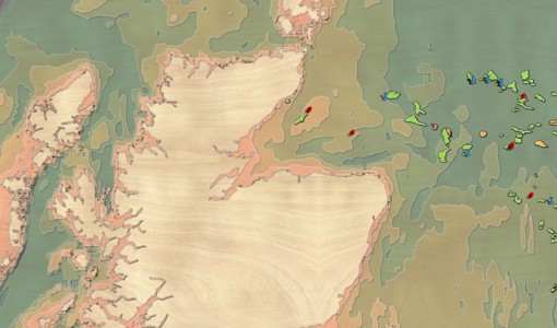
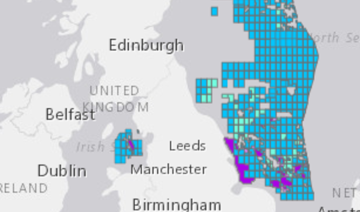


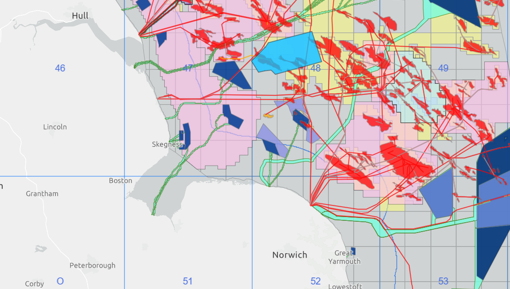
NSTA virtual map gallery tour
Take a look at some of our most popular and newest maps; and get some hint and tips on how to use them.