

Several government and public organisations provide publicly available data to access and download. These are a collection of organisations that make environmental, navigational, boundary, and other energy-related data available for the UK Continental Shelf.


Archaeology
Historic Environment
Wrecks
Biology
Fish and Fisheries
Flora, Fauna and Habitat
Marine mammals
Orinthology
Seabed habitats
Wild Salmon Fishing
Chemistry
Meteorology
Noise surveys
Tidal Stream sites
Wave and Tidal
Geological maps
- BGS GeoIndex Offshore
- Marine Environmental Data & Information Network
- European Marine Observation and Data Network
Digital Well logs and reports
Geology
- European Marine Observation and Data Network
- Marine Environmental Data & Information Network
- BGS GeoIndex Offshore
Geotechnical surveys
Bathymetry data
- Marine Environmental Data & Information Network
- European Marine Observation and Data Network
- Admiralty Marine Data Portal
Benthic
Metocean surveys
Oceanography
Physics
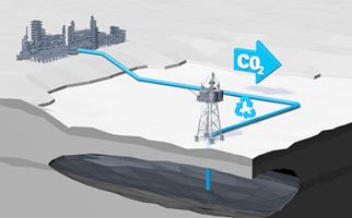
Carbon Capture & Storage sites
Export Cable Corridors
Human activities
Hydrocarbon Fields
Marine Aggregates areas
Maritime limits
Minerals
Obstructions
Offshore infrastructure
- NSTA Open Data Site
- Admiralty Marine Data Portal
- The Crown Estate Scotland Spatial Hub
- Marine Environmental Data & Information Network